
Channelview Neighbors by Public Source
Public sources describe parts of a block, not a complete neighborhood roster. HCAD's map and property records connect an address to a parcel and account. The County Clerk index documents recorded instruments. OCE handles county development and address-related service routes in this unincorporated area. Regional directories add historical context. Harris County voter tools are designed for individual status lookup, not for browsing a street-wide household list.
| Source | What It Shows About a Block | Access |
|---|---|---|
| HCAD Parcel Viewer | Approximate parcel shapes, selectable surrounding parcels, and map or address context | Free web map; pan and click; not a survey |
| HCAD Quick and Advanced Search | Account, owner or mailing field, situs, legal description, value, exemptions, and map references | Free search by address, range, ZIP, owner, or legal description |
| Harris County Clerk real-property index | Recorded parties, instruments, dates, and legal descriptions for a parcel | Online index and images from 1960-11-01; earlier custodian and microfilm routes |
| OCE permit and address route | Public project, address, floodplain, and development context where available | County portal or request route; historic field coverage not located |
| Regional reverse directories | Dated address-to-occupant or subscriber clues | Library, archive, or page-image research; incomplete and historical |
| North Channel Area Chamber directory | Local business and civic organization leads | Private nonprofit directory, not a member or resident roster |
The same two parcels can have an ownership relationship without telling who is present there today. Keep a record label with each result: exact parcel, same-street candidate, postal-only, historical directory, or unverified. That small discipline prevents a map click from becoming a claim about Channelview neighbors.
Map Channelview Neighboring Parcels
Use the HCAD Parcel Viewer as a spatial first step. Enter the address or place in its find box, select the parcel, then pan and click polygons immediately around it. The inspected interface includes address or place search, parcel selection, current-location control, and a basemap gallery. A dedicated radius or buffer tool was not located in the inspected viewer. The displayed parcel boundary is approximate and informational, so verify the adjacent parcel through its record before calling it a definitive boundary.
- Search the starting address or place in HCAD and select the matched parcel.
- Copy the HCAD number, situs, legal description, map facet, and key map from the detail record.
- Pan carefully to a touching or nearby polygon and select it as a separate parcel candidate.
- Open each candidate's HCAD record and preserve its own account and legal description.
- Use the County Clerk legal-description search when a recorded ownership history is needed.
The useful flow is address to parcel, parcel to HCAD account and legal description, then legal description to County Clerk instrument history. It identifies records about surrounding land. It does not identify every person associated with the block.
For a whole named street rather than the immediate parcels around one address, use the Channelview street directory.
Channelview Neighbors Through HCAD
HCAD Quick Search supports account, address, range address, and owner-name routes. The range option can help identify a street segment without treating it as a people list. Advanced Search also offers legal description, property street name, beginning and ending street number, ZIP, key map, map facet, school district, neighborhood, value, and size filters. HCAD notes that the address search is not a map-engine geocoder, so alternate spellings, a zero site number, or an unmapped account can affect a result. The official Channelview example at 0 Wallisville Road shows why saving a legal description, map facet, and key map is safer than relying on one street string.
The official HCAD Quick Search view shows the account, address, range, and owner-name tabs used to begin this parcel work.
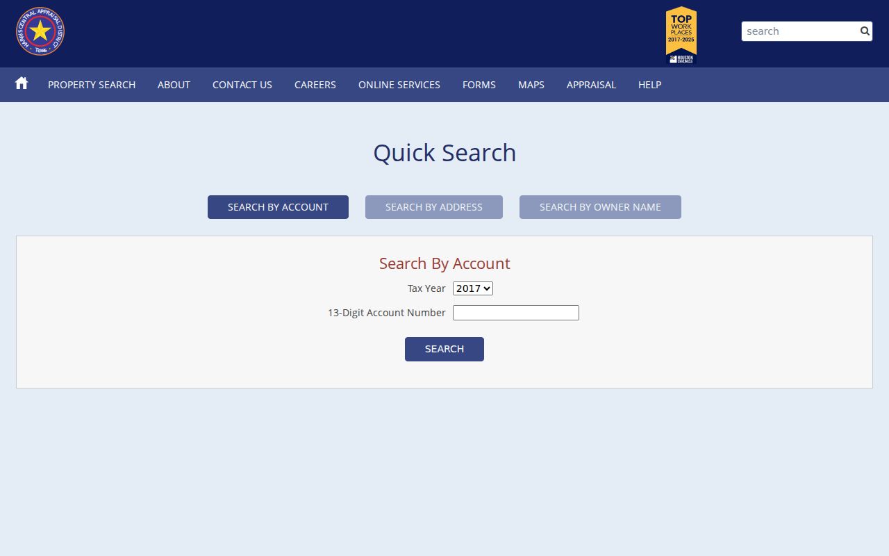
Use an HCAD result as a parcel and appraisal record. Owner or mailing information is distinct from the property situs and does not establish present occupancy.
- Parcel
- A mapped unit of land tied to an appraisal account or land description.
- Situs
- The property location carried in a record, which can differ from an owner mailing address.
- Legal description
- The lot, block, tract, or abstract language used to identify the land in recorded documents.
- Map facet and key map
- HCAD map references that can bridge a parcel when street text is inconsistent.
Channelview Neighbor Searches and Voter Limits
The Harris County voter website is an individual current or pending registration lookup. The inspected route does not offer a normal public block or ZIP roster. A separate voter-file request may have lawfully releasable fields, but Texas Election Code protections, confidential identifiers, and protected-address rules remain in force. A suppressed web result does not prove that a person has no underlying record, and it does not authorize a user to reconstruct a block list from other sources.
Texas's Address Confidentiality Program can supply a substitute mailing address for eligible participants, and Harris County has a website opt-out form that removes personal information from that county display only. These are distinct protections with different scope. Do not ask anyone to disclose a protected address, and do not treat website suppression as a reason to infer a location.
Note: A voter-status query is individual and regulated, not a public search tool for Channelview neighbors by block.
Channelview Neighbor Community Routes
Official research did not find a complete public HOA, neighborhood-association, block-watch, congregation, or private member roster for Channelview. That absence should remain visible. The verified community sources below can provide context, services, or a way to ask an organization about its own public information. They do not prove that a named person is a neighbor, member, or occupant.
| North Channel Area Chamber | 2026 member and resource directory; private nonprofit and a community or business lead only. |
|---|---|
| Channelview Community Planning Study | County planning context; use for land-use and study-area geography, not association membership. |
| North Channel Library | Public branch services; local-history assistance, programming, equipment, and community access, not a roster. |
| HOA and neighborhood associations | No complete official public inventory or member directory was located. Verify a named group through its own public contact channel or recorded subdivision documents. |
North Channel is the best local public access point for community context. Its branch replaced the Channelview and Woodforest branches in 1994, which makes predecessor files a useful historical lead. The library's 2025 LAWPod announcement also describes free legal databases and virtual law-librarian appointments for records-related questions.
The North Channel Library page documents the branch, equipment, and community access.
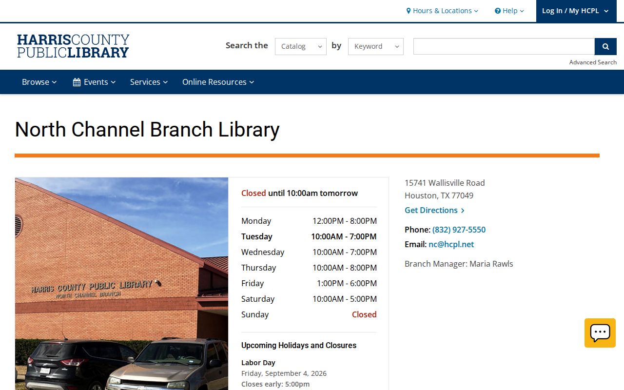
Use the library for help locating public collections or community context. It should not be used to request or publish a private membership list.
Channelview Neighbors and County Services
Channelview has no municipal addressing department because it is unincorporated. Harris County's Office of the County Engineer is the appropriate public route for county development, permit, address, and floodplain questions. Its FAQ points to information on an address, floodplain, project number, and ESID checks. The e-permit support form can take project name or number, permit numbers, project address, requester contact fields, and a department selection, but it is a support route rather than a confirmed historical public index.
The OCE permit FAQ outlines the county address and project guidance.
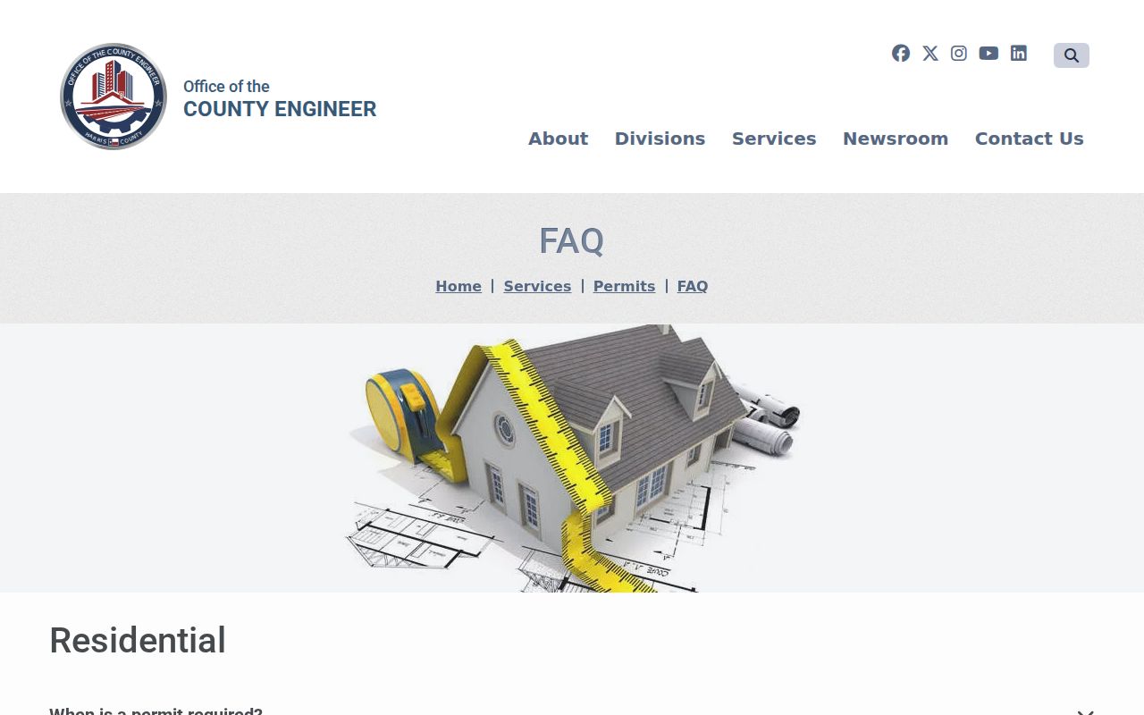
OCE information can date public development activity or help route an address question. It does not establish who lives near a project address.
The county planning study describes a useful planning-study geography bounded by Wallisville Road, the old San Jacinto River, Beltway 8, and the Houston Ship Channel or Carpenter's Bayou. That is a planning boundary, not a city line or a neighborhood-membership map.
Compare Channelview Neighbor Sources
Official parcel and deed records have a dated custodian and clear scope. Compiled commercial neighbor tools can combine sources with uncertain refresh dates and mistaken identity, so they should not replace HCAD, the parcel viewer, or the County Clerk. A directory entry or chamber listing is useful only in the narrow historical or organizational context printed by its source.
| Source type | Strongest use | Limit |
|---|---|---|
| HCAD and Parcel Viewer | Parcel, account, legal description, and approximate map context | Owner or mailing information is not occupancy proof; map boundary is not a survey |
| County Clerk instruments | Recorded title and legal transaction history | Parties and mailing fields do not create a household list |
| Regional directories and community publications | Dated address or organization context | Incomplete, historical, or private-publication limits apply |
| Compiled commercial tools | None needed for a source-backed parcel question | Uncertain source dates and possible false associations |
A narrow property question is often answered faster by the official source that owns the record. Preserve the search date, custodian, record type, and whether the result is a current appraisal field, an historical snapshot, an index hit, or a source lead.
Privacy Limits for Channelview Neighbors
Private block facts do not become public because two parcels touch. Public records do not provide a complete picture of household members, minors, protected residents, utility customers, delivery recipients, unlisted phones, or private association members. A deed owner, mailing address, voter entry, directory listing, and parcel map each answer a different, limited question. Respect redactions and sealed or confidential records.
Lawful use. Channelview neighbor research is for personal safety awareness, civic curiosity, and reconnecting. Do not use public records or map clues to watch, harass, intimidate, or harm another person.
When a parcel, postal city, or boundary looks unclear, verify it with the custodian. Channelview addresses can use more than one postal presentation, and the HCAD viewer is expressly approximate. Careful source labels are more useful than a broad claim about who belongs to a block.